Rockwall trip, September 2026
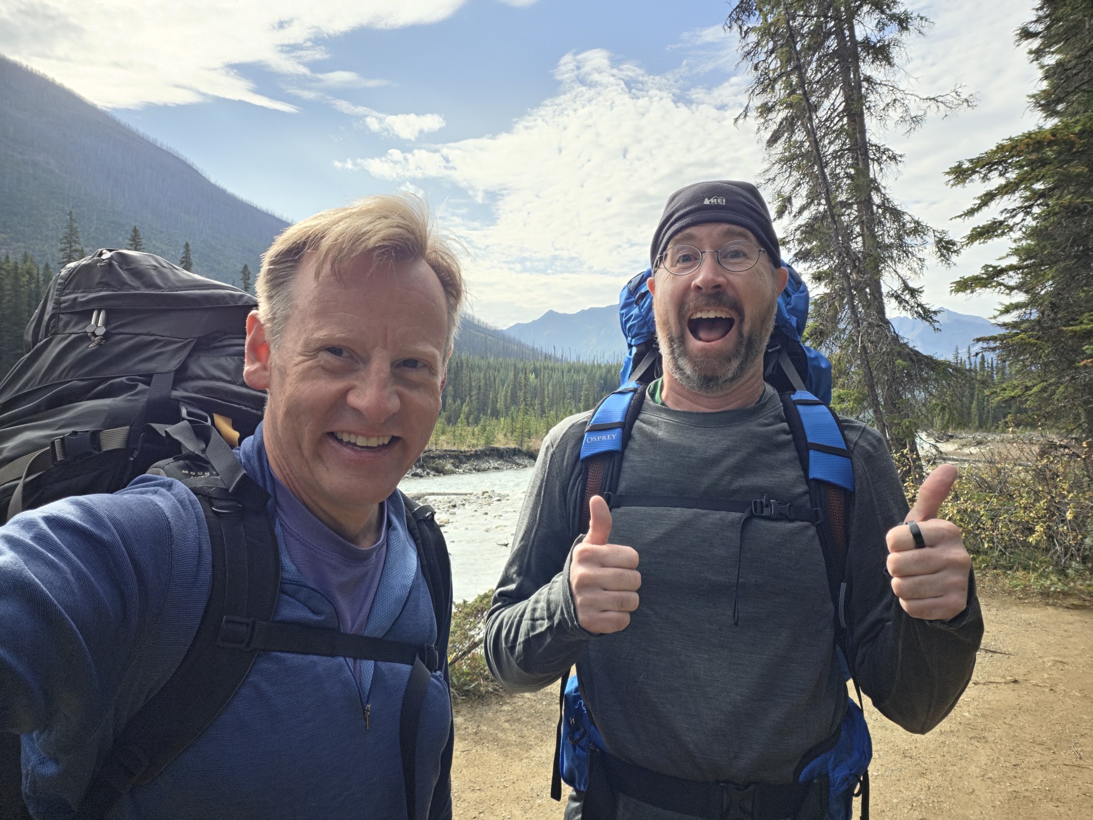
Last year, on day 2 of the Tour du Mont Blanc, I ended up hiking with a veterinary professor from Saskatchewan for some of the day. We had an enjoyable conversation, and while I don't remember most of it, I do remember that he raved about a trail in the Canadian Rockies called the Rockwall. Because I enjoyed the TMB so much, I've decided to do a backpacking trip every year from now on. This year, I decided to do the Rockwall. I had also been chatting with a college friend of mine named Blake about the TMB and how he wanted to do more backpacking, so I asked him if he was interested in joining me, and he said yes. So we slowly planned out the trip over the course of a few months. One big part of it was getting permits for campsites along the trail, but more on that below.
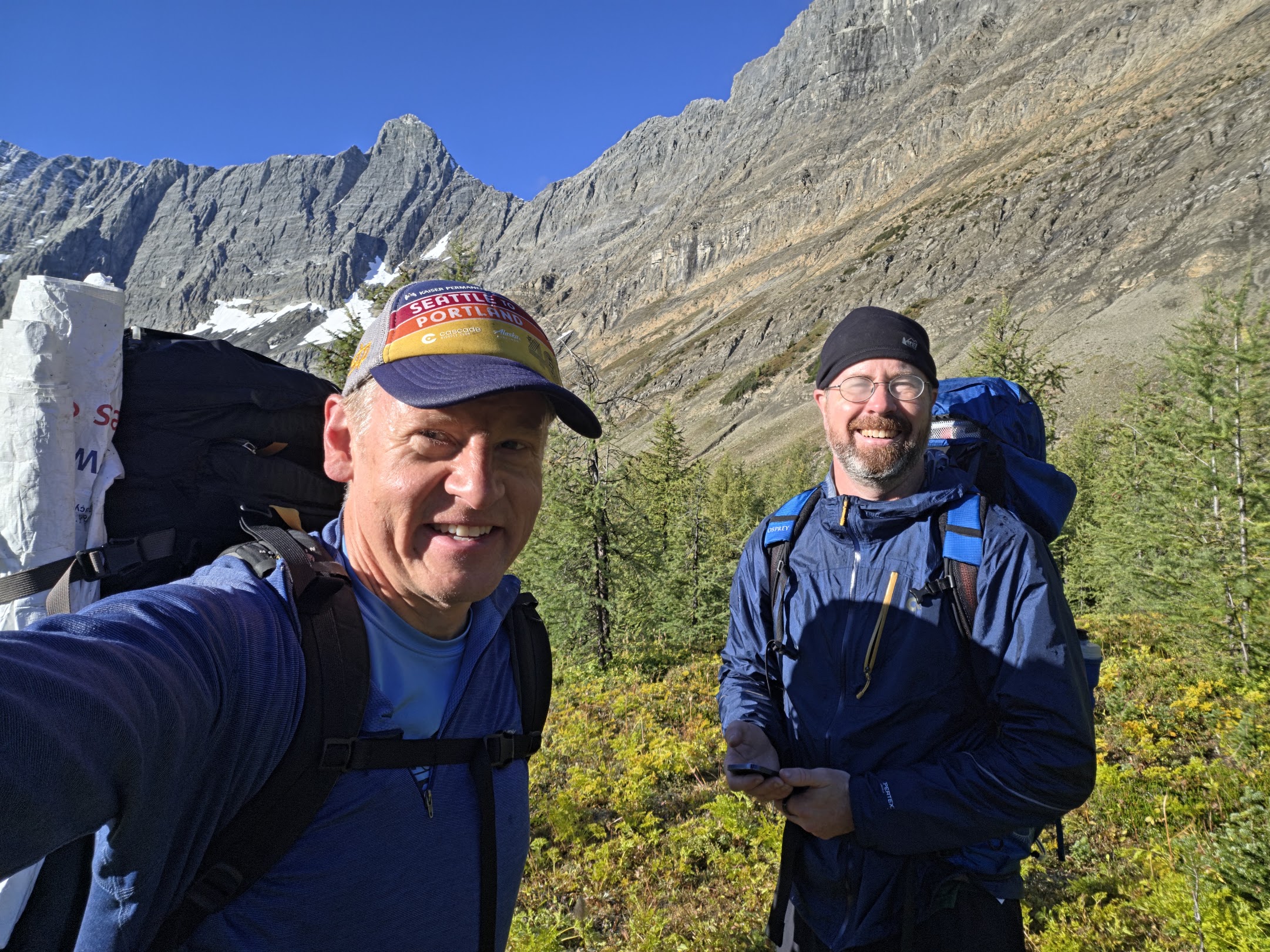
What is the Rockwall trail? It's a 54 kilometer long trail in the Canadian Rockies, specifically Kootenay National Park in British Columbia, which is about an hour west of Banff, Alberta. The trail runs roughly north-south and is just to the east of a fairly dramatic mountain range which includes a feature called the Rockwall, which is, as you might guess, a 1-2 mile long side of a ridge that is a sheer cliff with probably over a thousand foot drop. The trail goes right by it and the views are great. Anyway, here is my writeup, with some pictures.
Sunday 9/13, day 1
Blake and I had flown in to Calgary separately the previous night and picked up a rental car, then stayed at a hotel near the airport. We got an early start from Calgary, with lots of fog on the highway. We did the typical Canadian thing and got breakfast at a Tim Horton's in Canmore. We also picked up bear spray from a
Canadian Tire, and fuel for our cooking stove in Banff. We drove to the starting trailhead at a place called Paint Pots, named for some colorful geothermal pools nearby. We got going and started a gentle ascent.
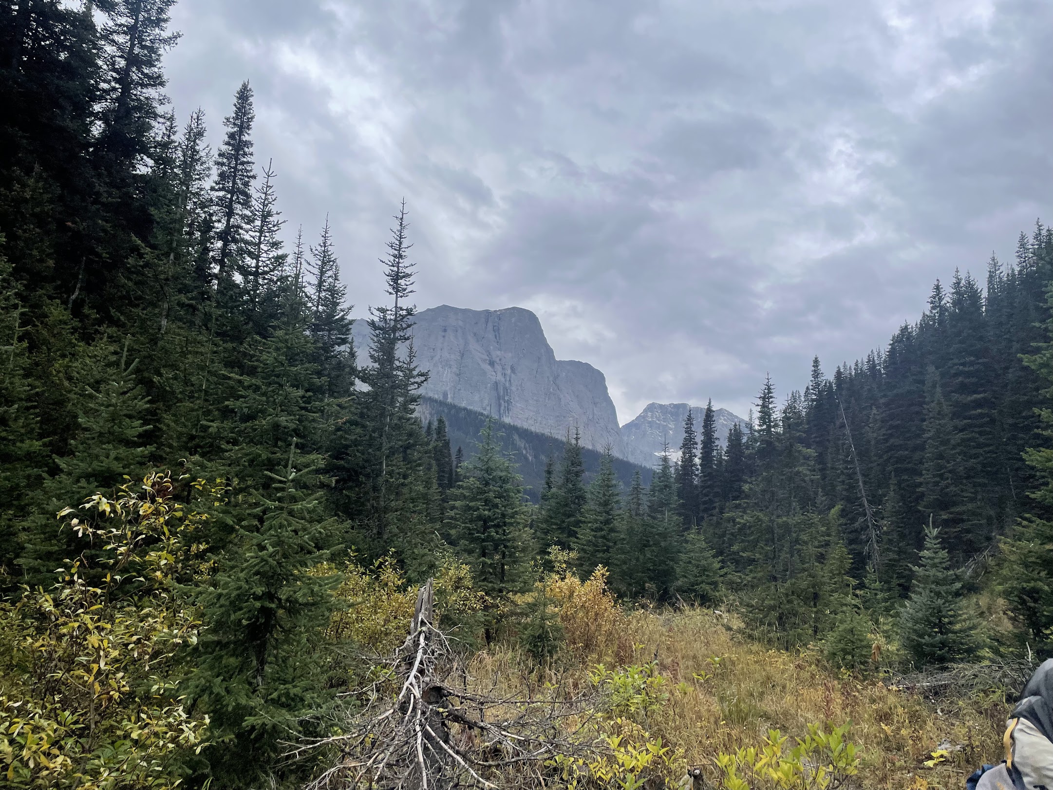
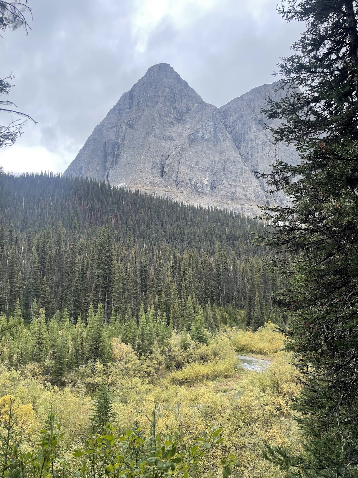
We were mostly in the trees at first but got a few nice views of nearby mountains. After a campground called Helmet Creek, the trail turned
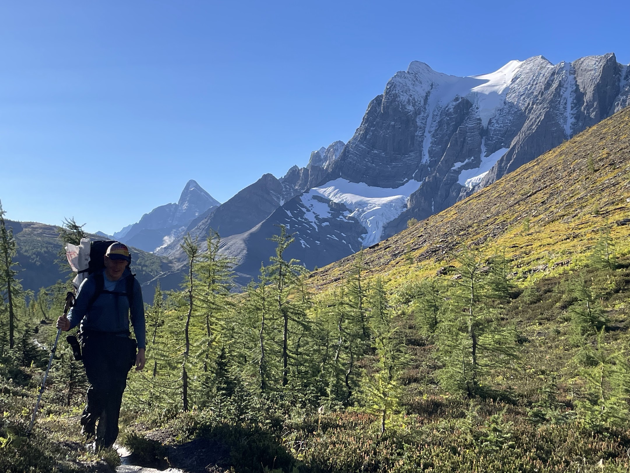
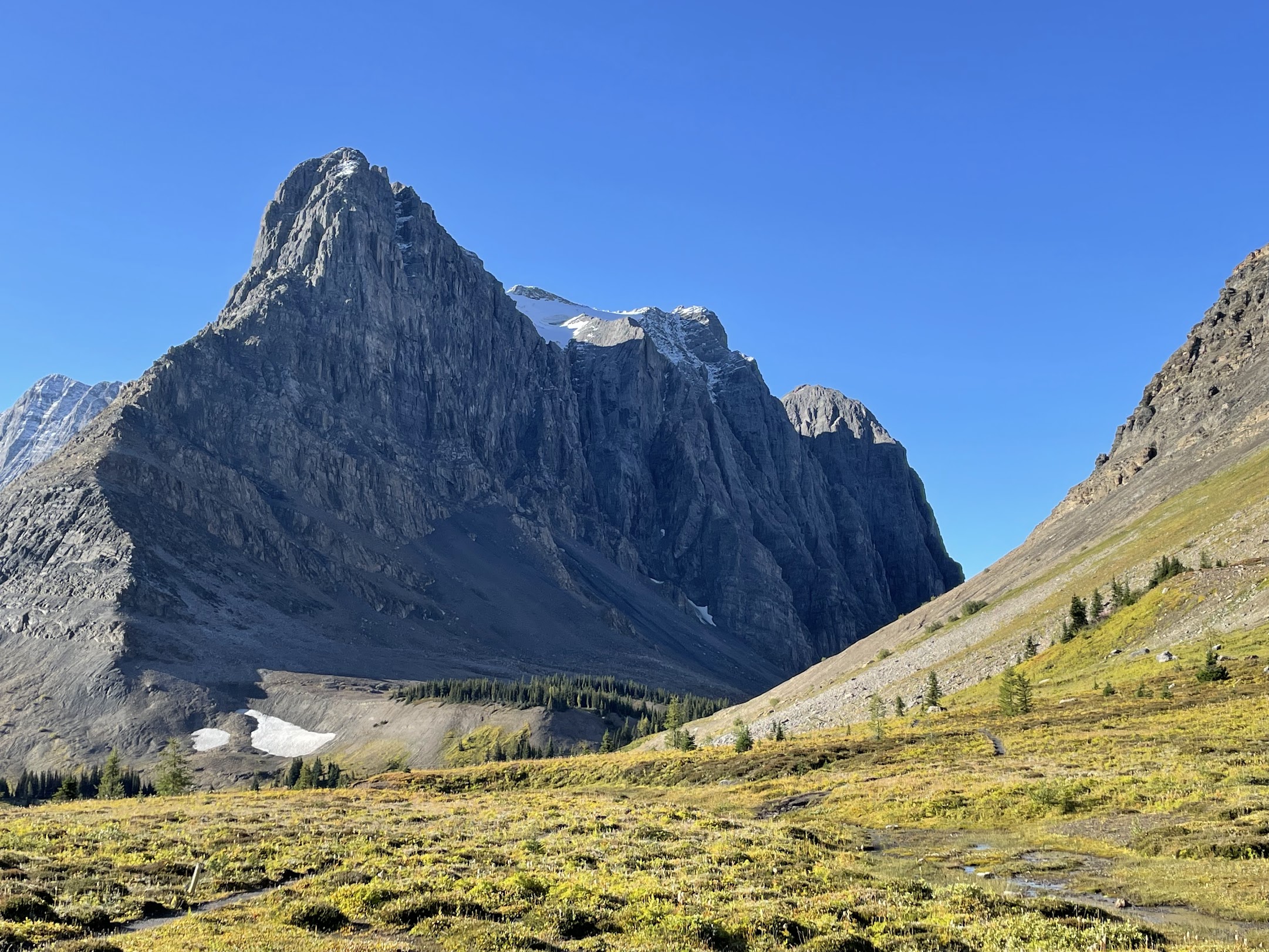
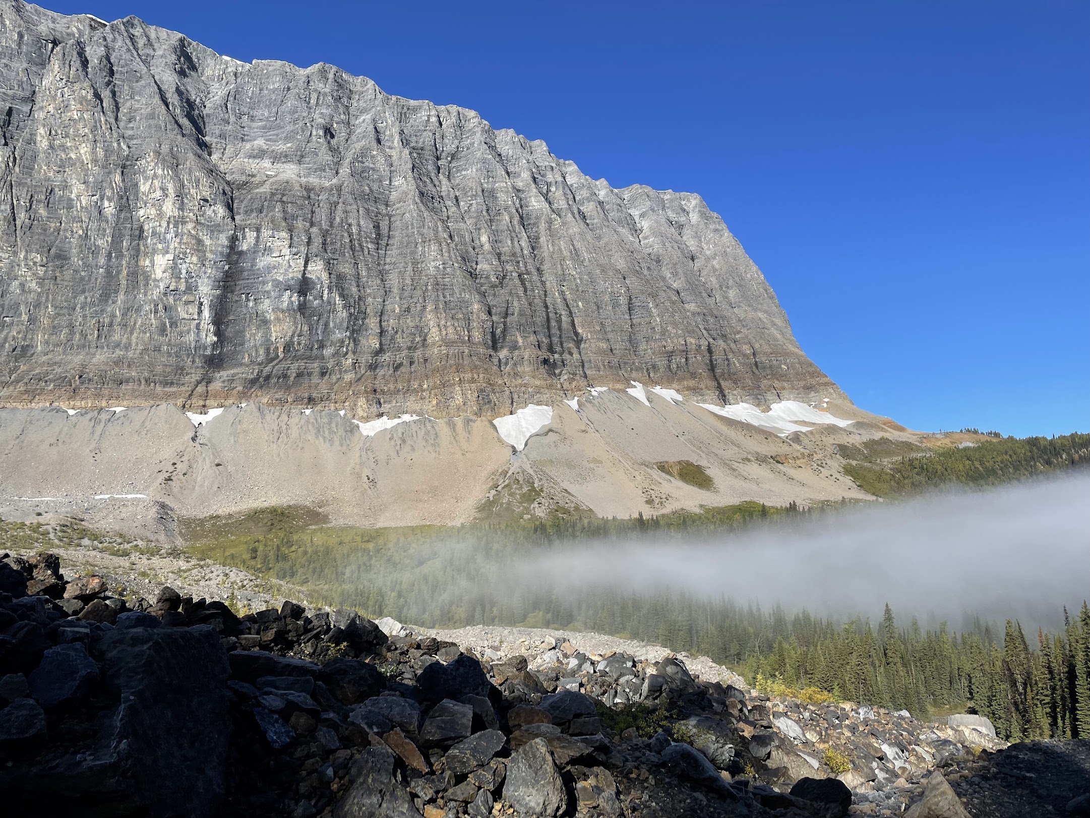
to go up, and that's when we started getting great views of the Rockwall. Words and pictures don't do it justice. It's
this massive, tall, side of a ridge that goes on for a mile or two. Simply amazing.
Things got a bit difficult after that. We realized that instead of descending directly to our campsite, we were going
to have to descend a bit, then climb up to a second pass which went on for a mile or more and was quite exposed. The elevation profile we had seen said it was a total of 800
meters for the day, but we ended up climbing 1,300 meters overall. The distance we saw (and did) was correct, at about
17 miles. So it was a bit more work than we expected. On top of that, the wind picked up and it started to drizzle.
The drizzle even turned to wet snow for a bit. As you might guess, we weren't taking pictures at that point. We layered up and kept going, and finally descended to our lovely
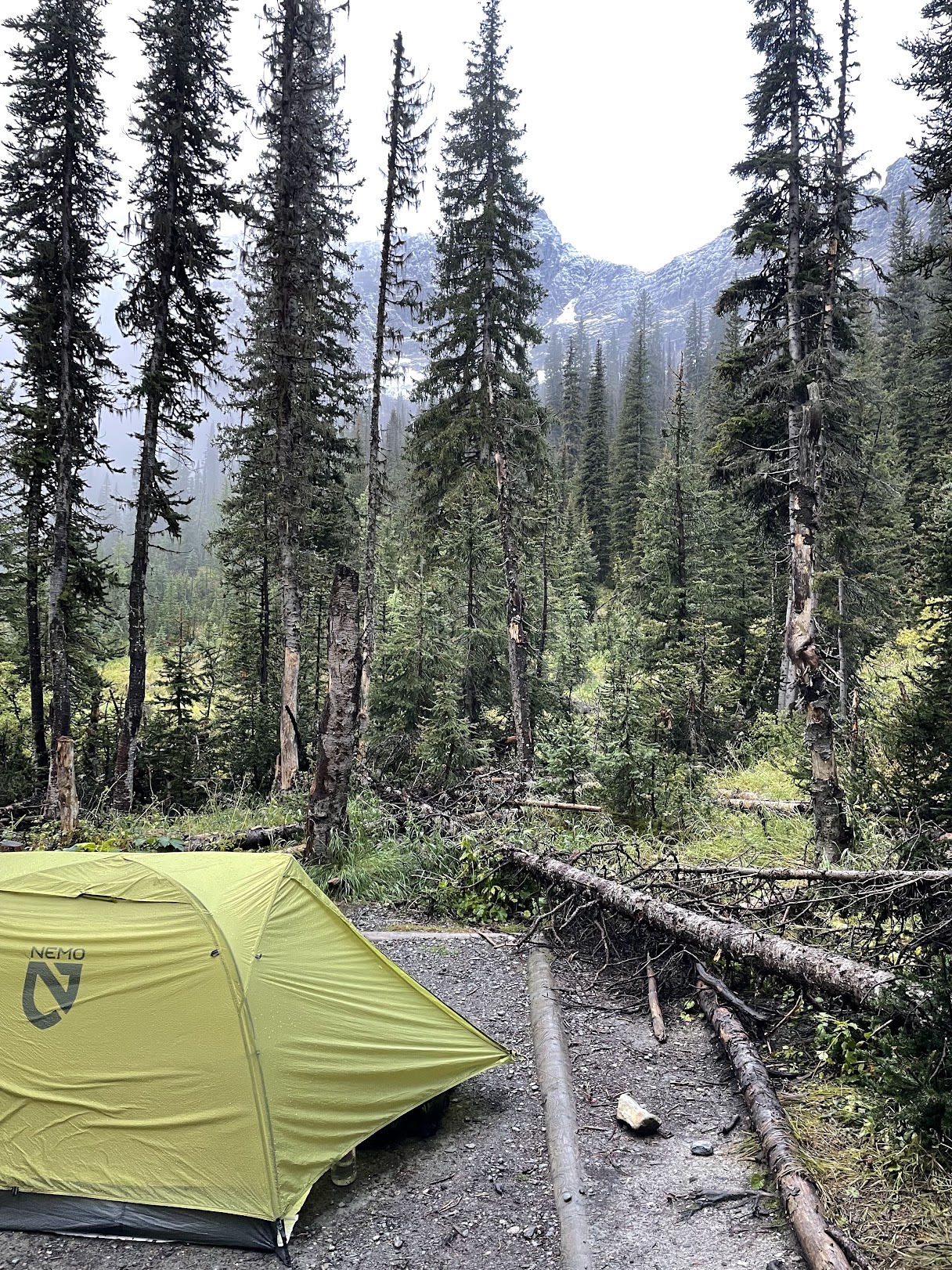
campsite at Tumbling Creek. We filtered water, put up the tent, got dinner, and went to bed. I was thankful for my
nice new warm sleeping bag. During the night, I believe I heard an animal snuffling at Blake's side of the tent at two
different times. I think it was either an elk or a bear, but it didn't bother us.
Monday 9/14, day 2
Woke up feeling all right after the long day yesterday, got breakfast (heated un-condensed oat milk and granola is a
delicious warm meal) and headed out. This was going to be almost as long as day 1, but a little more manageable for a
few reasons. One is that we started hiking about an hour earlier. It was a beautiful morning, with some clouds, but
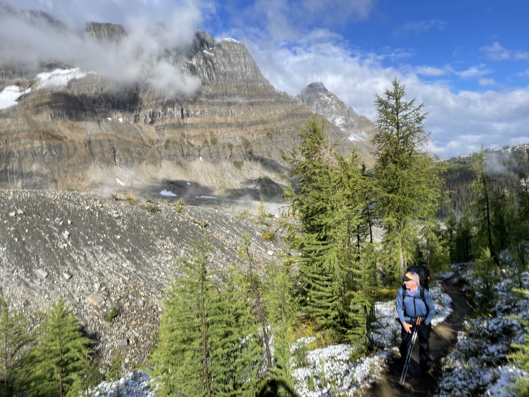
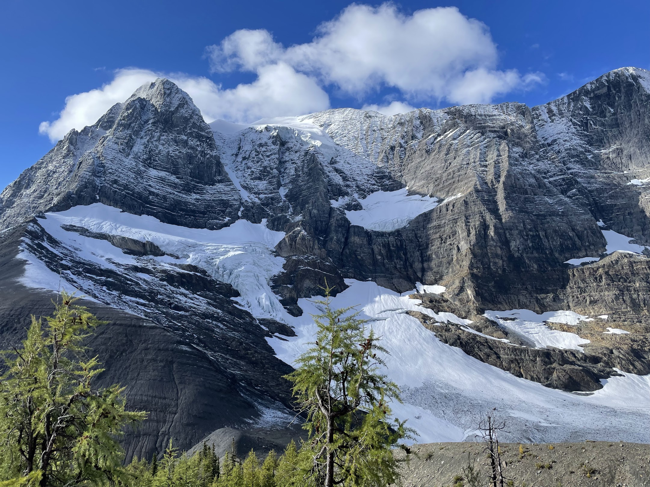
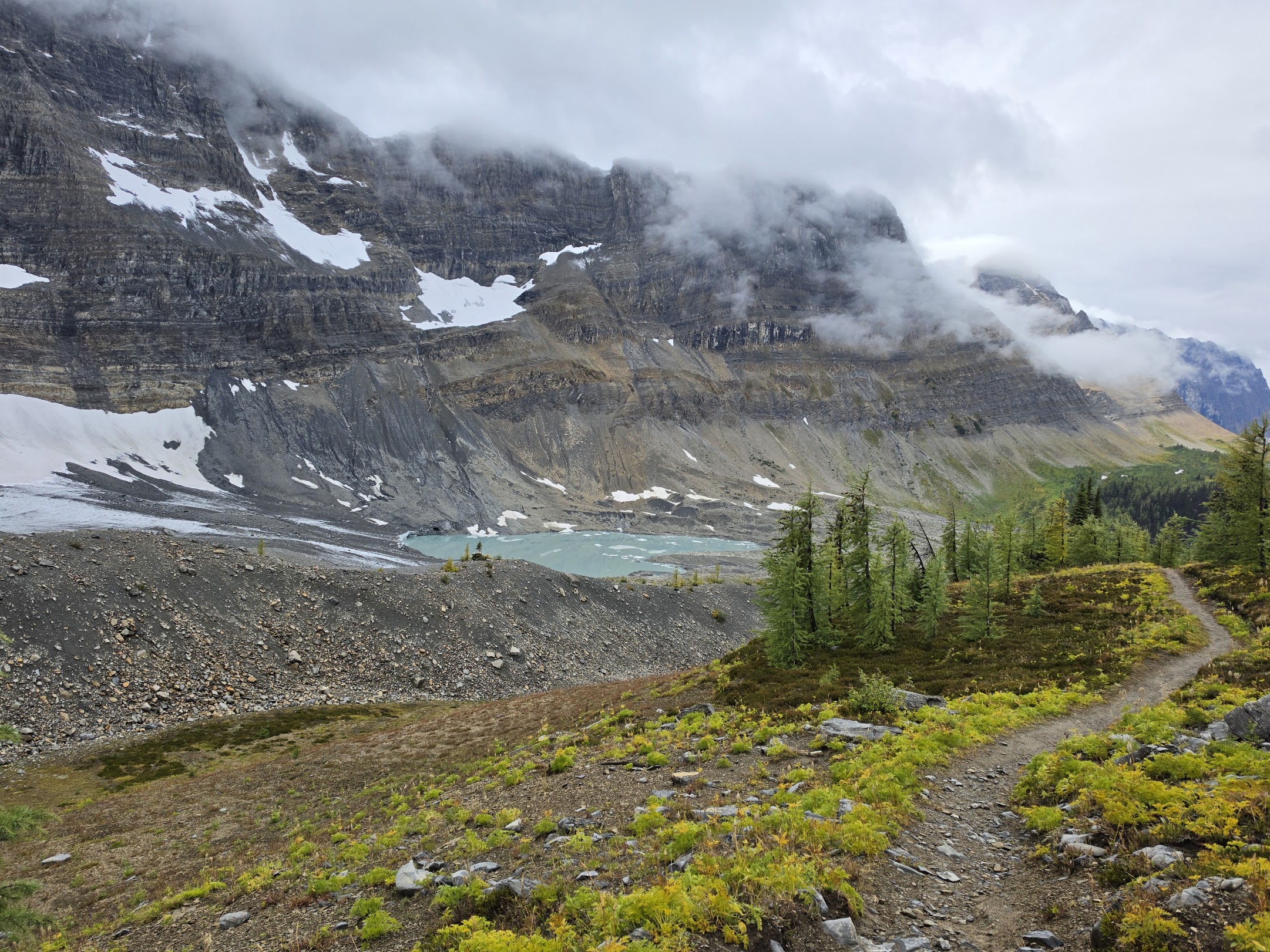
once we climbed to higher elevation we got some sun. The trail rose to Tumbling Pass, which we learned had once held a
large glacier, but the glacier had become several smaller ones and a lake. It was still beautiful.
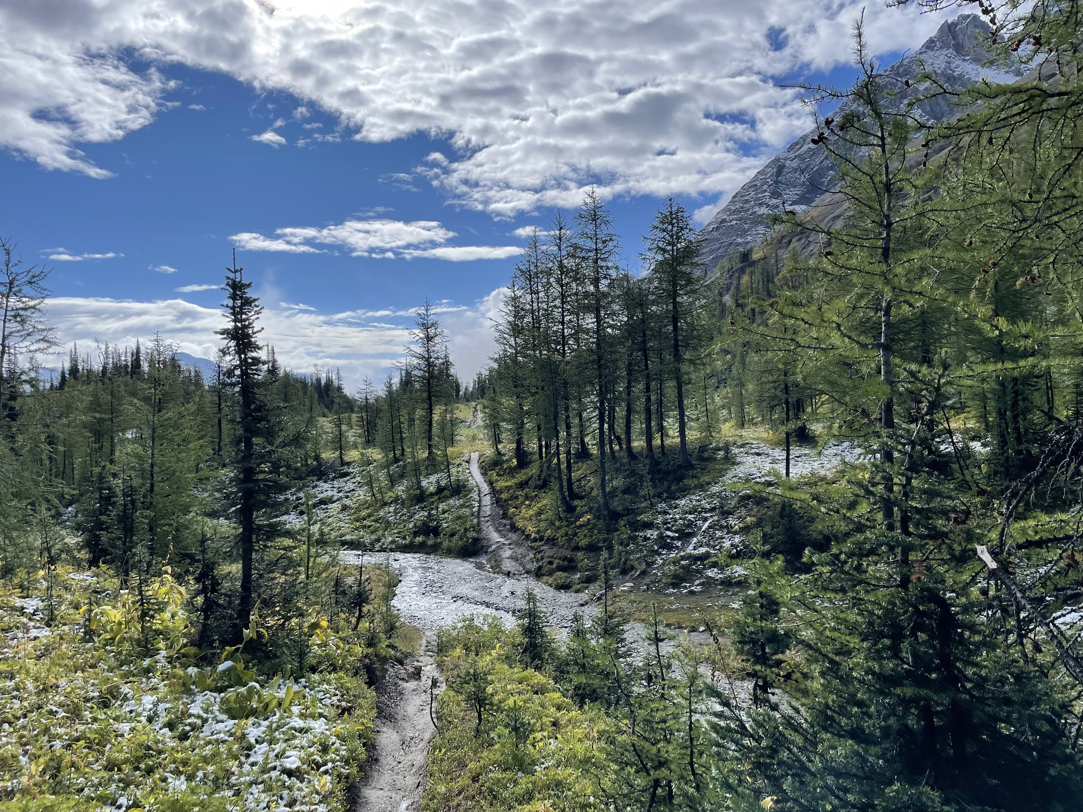
We then went through a lovely little flat area at the top of the pass, and started descending to Numa Creek, where we
would camp that night. We got there in time for lunch and set up our tent (we had our pick of tent pads at that time of
day). The descent was quite long, and Blake noted that Numa Creek's elevation is about the same as where we parked the
rental car.
The rest of the day's hike requires some explanation. If we had been able to book a site at the Floe Lake campground,
which was the next and last campground on the trail, we probably would have bypassed Numa Creek. However, the way the site
reservations work, there's a Parks Canada web page that unlocks on a specific day in January and lets you reserve
Rockwall campsites. There are very few spaces and they all get taken within the first couple hours. Plus, when I was
using it on that day in January, the website confused me. It forced me to build up a chain of plausible site
reservations that could be hiked iteratively on consecutive days, instead of letting me pick and choose sites on days I
thought we might want. Because of the rush of people, site reservations were running out quickly, so it was a bit
stressful to navigate it all.
Anyway, I was able to get Tumbling Creek for one night and then the nearby Numa Creek for the second night, but not the
elusive Floe Lake. I talked to Blake to get his thoughts, and he suggested reserving Tumbling Creek for the third
night. He liked the idea of turning around near the end of the trail so we could see most of the scenery at different
times and weather conditions, so I did that.
So we decided to extend day 2 and hike another 8 kilometers up to Numa Pass, from which we might get to see Floe Lake.
We left most of our stuff at Numa Creek, so our packs were lighter. Also, the ascent was fairly gentle most of the way.
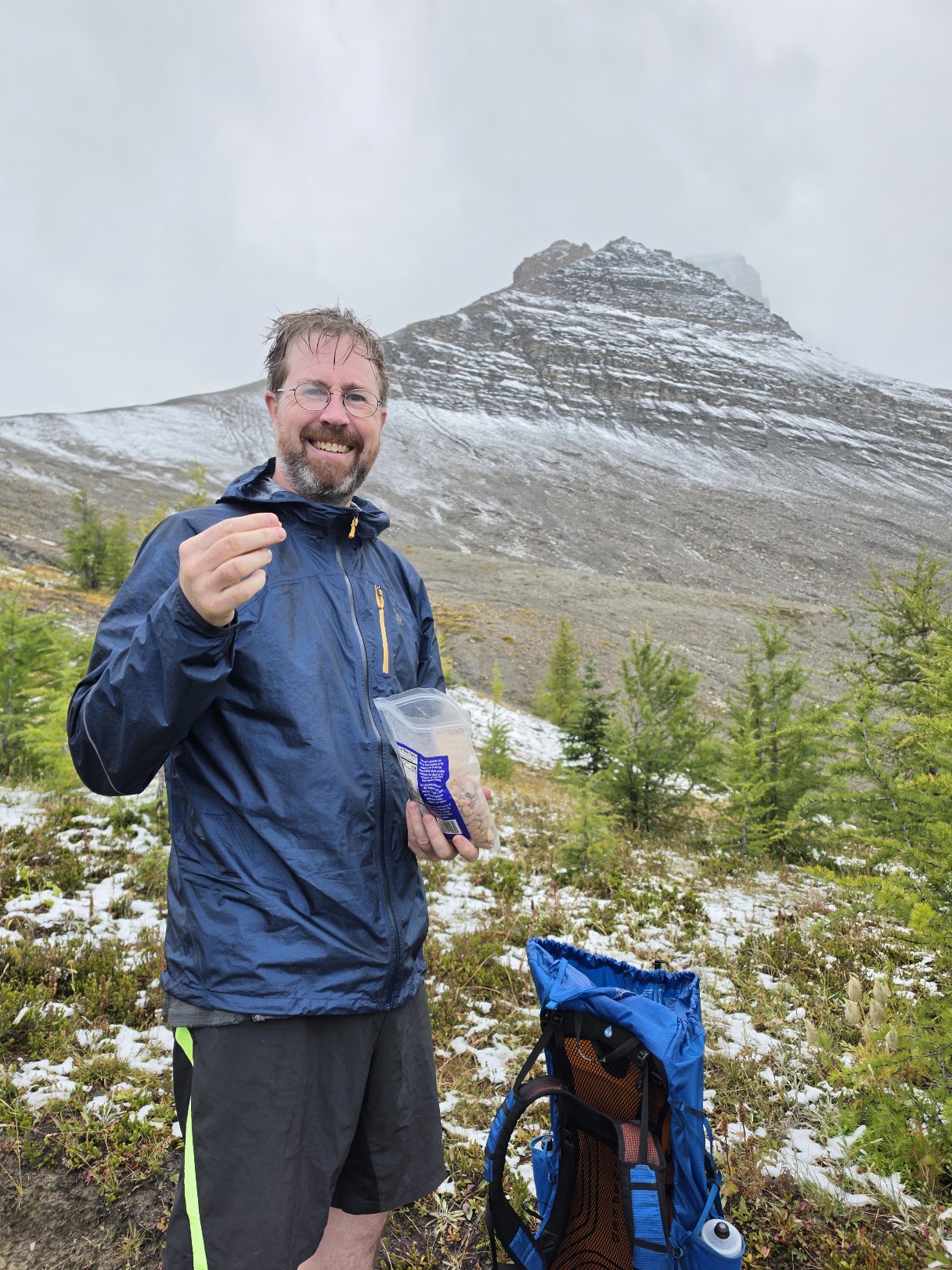
We saw a beautiful waterfall. When we got up to treeline, we paused for a snack and saw a flock of probably confused
Canada geese flying around. As with day 1, the weather got worse as the day went on. It started to rain as we reached
the top of the pass around 4:30pm, and the other side was socked in with clouds, so we couldn't see Floe Lake. We took
a couple pictures, congratulated ourselves on reaching the "end", and then turned around. The rain actually turned to
hail for a few minutes, but quickly went back to rain as we descended. We got back to camp around 7pm, but unlike the
night before, our tent and sleeping bags were ready for us. All we had to do was make dinner and go to bed. That
night, I was only woken up once by a large-seeming creature sniffing at our tent.
Tuesday 9/15, day 3
After two long days (17 miles and 15 miles), today was a well-deserved short day at about five miles, although with
about 2,200 feet of elevation gain. We just hiked back from Numa Creek to Tumbling Creek, the reverse of the first part
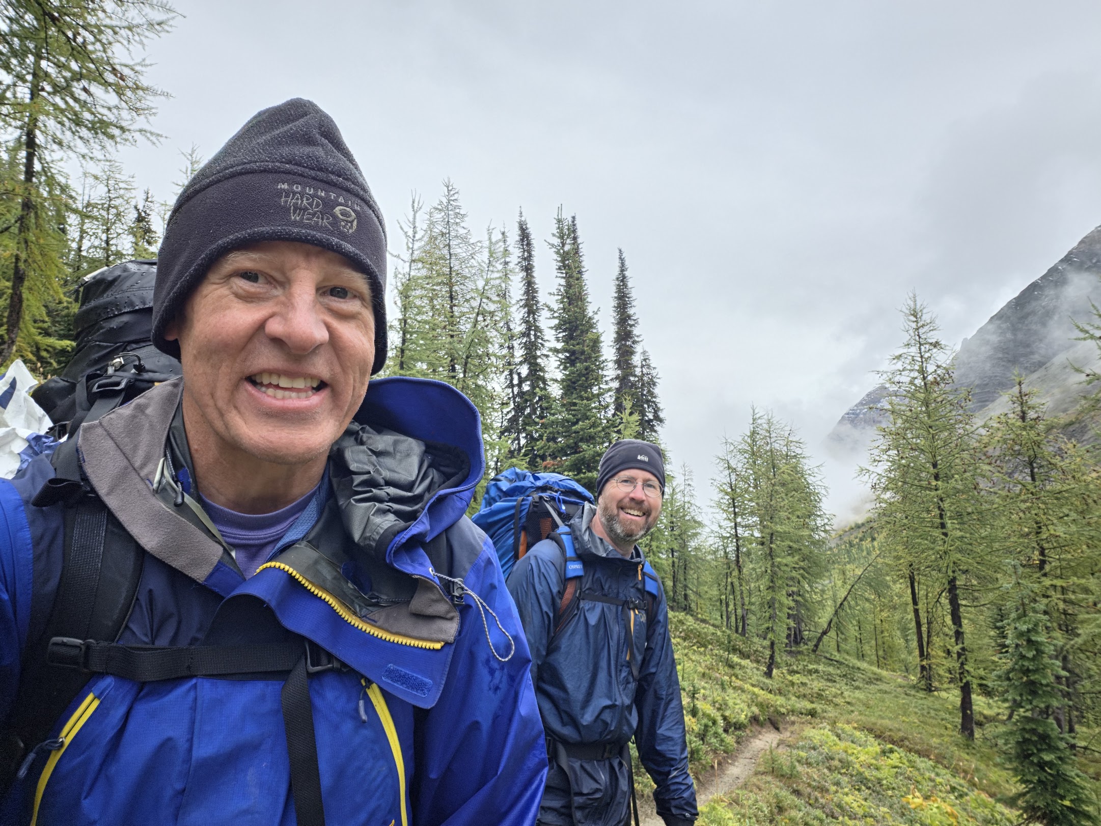
of the day before. It happened to be raining the whole morning, which really was a continuation of the rain that had
started late the previous day. After breakfast we decided to wait until either it cleared up or noon arrived before
packing up and leaving. I took advantage of the downtime to have a nap. As it turned out, noon arrived with the rain
still falling, but over the next hour it quieted down and came to a stop. I think that made Blake feel better. I think
he was beginning to despair that his stuff would ever be dry again.
The hike itself was straightforward. We got to see the terrain and glaciers we had seen the day before in a different
light. We ran into an older couple from Alaska who ended up at our campground and reported they saw a mother bear and a
one year old cub soon after they saw us! I'm kind of glad we didn't see the bears. The couple had just started hiking
that day, and told us the weather report for the next day said no rain, which made us happy. The last weather report we
saw before leaving said the same thing, but we had no cell phone reception during the hike, so we couldn't get any
updates.
So we were back at Tumbling Creek at the end of the day. We arrived much earlier than the first day, and had our pick
of tent pads. Our plan for day 4 was to get up early and hike out to the car, retracing our steps from day 1. I
enjoyed this trip, but by this point, I was looking forward to getting back to civilization, or at least internet
connectivity.
Wednesday 9/16, day 4
This day was basically day 1 but in reverse, and with perfect weather. The rain that had plagued us had moved out and
left clear skies. I had gotten up in the middle of the night and it was so clear (and cold) that I could see lots of
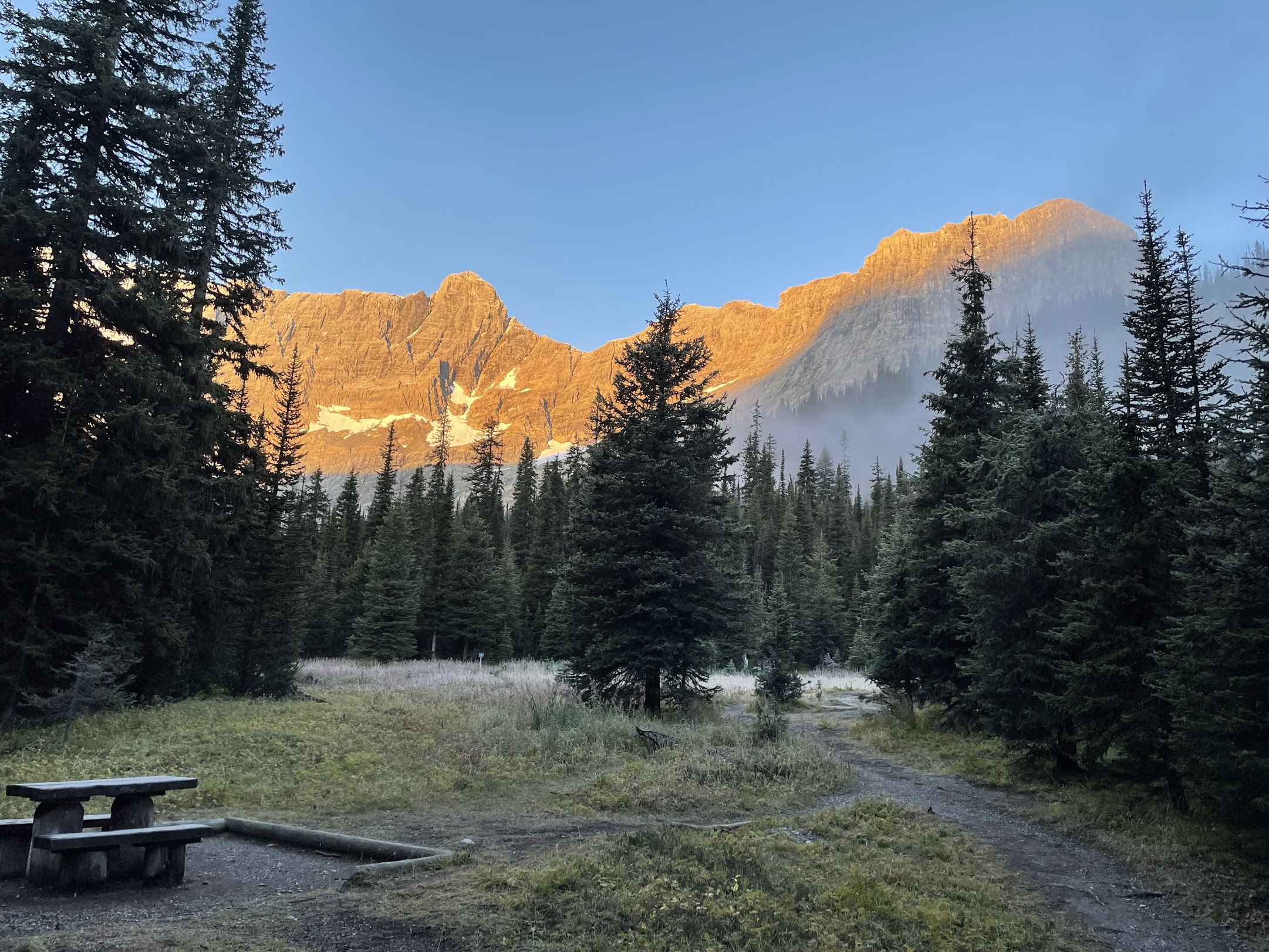
stars and the Milky Way. We got up relatively early, in time to see the sun light up the peaks that surrounded the
campsite. After breakfast and packing, we started a little after 8:30am. We ascended to the high pass that goes along
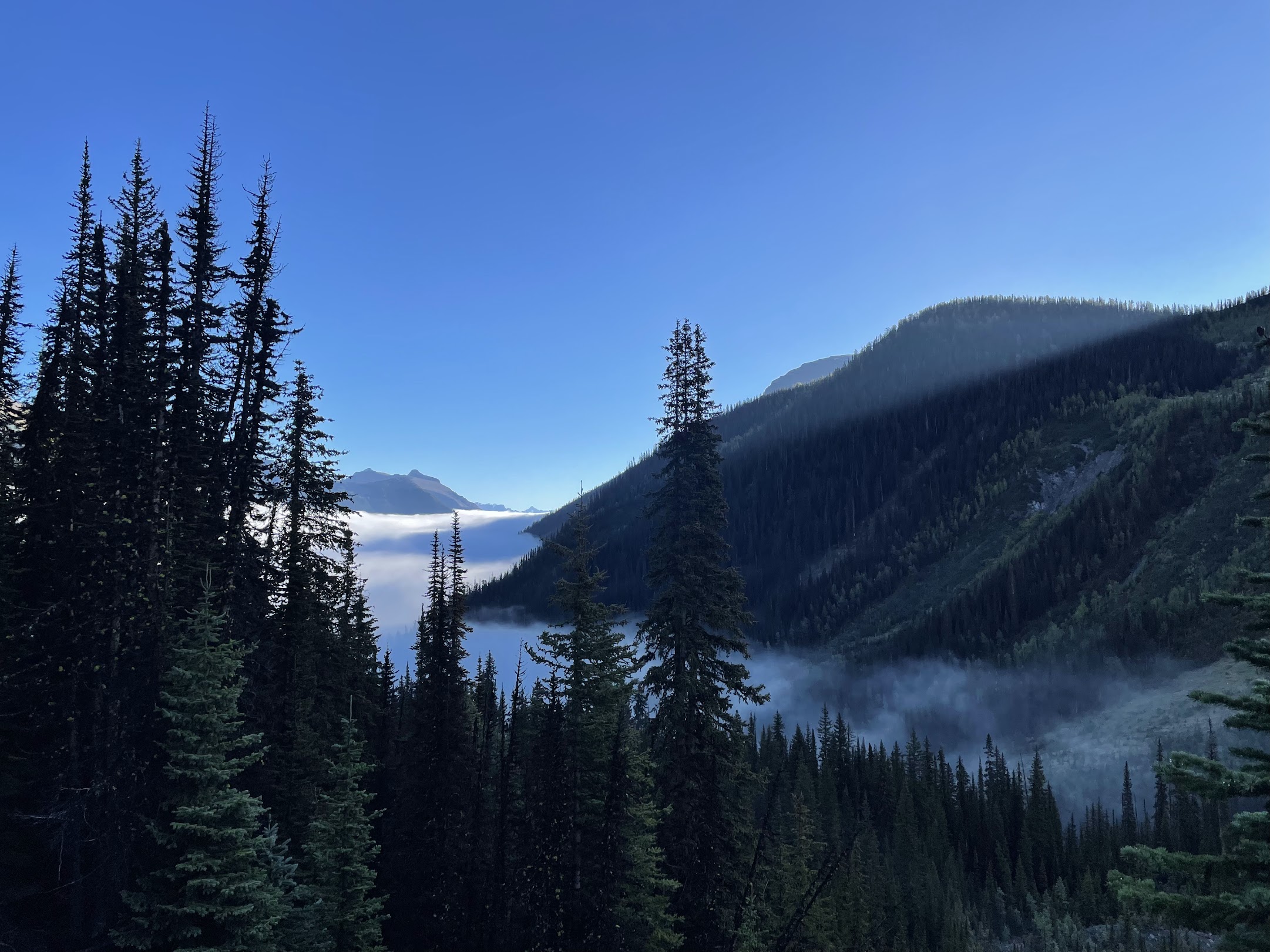
the Rockwall that gives the trail its name, taking lots of pictures. As the day warmed up, water evaporated and formed
clouds in the valleys, and then dissipated entirely.
Compared to day 1, when we were freshly rested, we did have a few advantages. The route back had a couple uphill
sections, but mostly ran downhill. We also started a couple hours earlier in the day. Lastly, we had eaten much of our
food, so our packs were lighter.
After the Rockwall section, the trail descended into the valley, but still offered a few views of glaciers and
waterfalls. The trail out to the road was long and flat, with a few annoying ups and downs that we didn't notice on the
way in. We mostly felt fine, except our feet were complaining more and more. We finally limped in to the parking lot
around 4:30pm, 8 hours and 17 miles later.
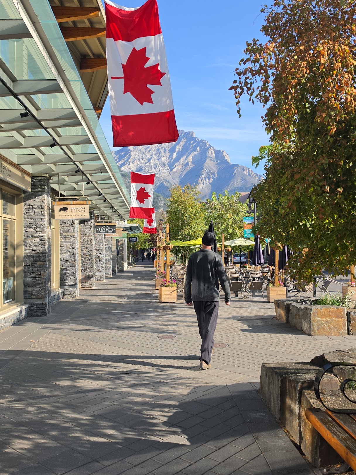
We packed up the car and headed to our hotel in Banff, and enjoyed showers (running heated water!), beers, burgers, and
a hot tub on the roof of the hotel. Then we got up early to catch a flight from Calgary to Seattle, I visited Blake and
his family for a night, then travelled on to see other friends and relatives in Oregon and Idaho.
This was a fun adventure. I'm planning to continue my yearly backpacking trips. For next year, I'm leaning strongly
towards the GR20 in Corsica. Assuming I go, I'll post about it here!